 |
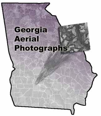
The Georgia Aerial Photographs
database provides online access to approximately 50,000 black and
white aerial photographs and indexes of selected counties from the
State of Georgia.
The photos and indexes are from the Map Room of the University of
Georgia Libraries, which has a collection of 225,000 aerial photographs
of Georgia covering the period from 1938 through the 1980s. The
photographs and indexes were originally produced by the U. S. Department
of Agriculture’s Agricultural Stabilization and Conservation
Service (ASCS). Indexes and photography produced by the U. S. Geological
Survey will also be available.
|